
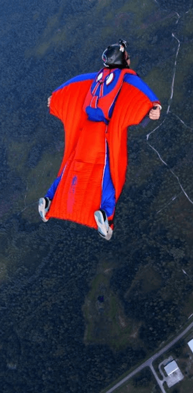
The Paralog Performance Competition web site is an online platform that allows wingsuit pilots and speed skydivers to upload and share their flights recorded by GPS. The flight tracks can be analyzed and replayed interactively in 3D on desktop and mobile devices. Performance oriented wingsuit pilots can compare their flight performance independent from time and location in three different categories, each one stretching a different area of the flight envelope. The Paralog Performance Competition web site is also part of the first FAI/IPC approved scoring and judging system for Wingsuit Performance Flying and GPS-based Speed Skydiving competitions.
The Online Performance Challenge
All tracks uploaded to this site are automatically scored in the three performance categories and entered into the online ranking:
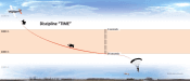
• Time: the longest freefall time for a vertical distance of 1000 m
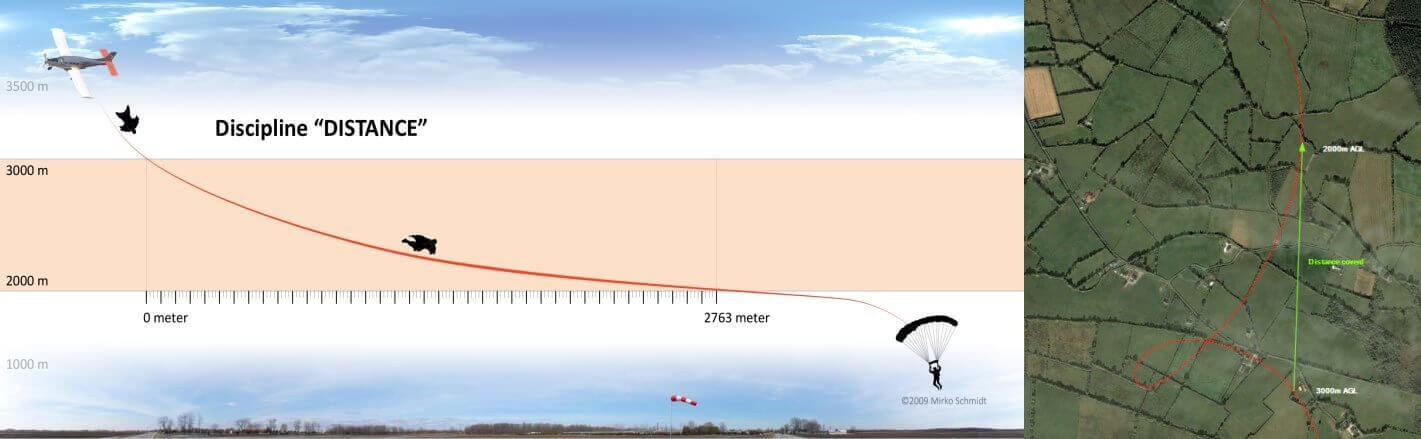
• Distance: the greatest horizontal distance covered over a vertical distance of 1000 m
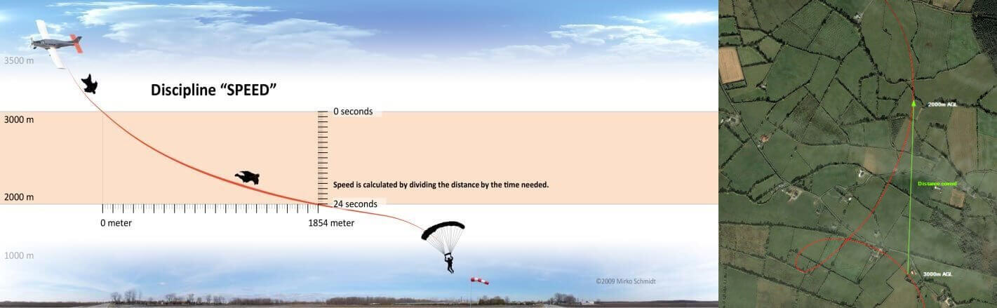
• Speed: the greatest average horizontal speed over a vertical distance of 1000 m
All tracks uploaded to this site automatically participate in the worldwide online ranking. The current champions out of 15,600+ submitted tracks are:
| Category | Name | Place | Suit | Date | Performance |
|---|---|---|---|---|---|
| Time |
Chris Geiler | Moapa Valley | CR+, Squirrel | 2017-11-03 | 108.5 s |
| Distance |
Alexey Galda | Rochelle | CR+, Squirrel | 2016-10-23 | 5.996 km |
| Speed |
Joe Ridler | Rochelle | CR+, Squirrel | 2016-10-23 | 374.8 km/h |
| VSpeed |
Marco Hepp | Tanay | n/a | 2021-08-09 | 509.70 km/h |
How can I Participate?
Every interested wingsuit pilot and speed skydiver from around the world can upload tracks of his flights to participate in the Online Challenges:
1. Download and install the trial version of Paralog.
2. Download your GPS track into Paralog.
3. Click the 'Submit to PPC' button in the toolbar. Edit your details as necessary. Click 'OK'.
Note: You can also use the FlySight Viewer to upload FlySight tracks.
Performance Competitions
Competitions combine the three distinct categories time, distance and speed into a single result to negate any advantage from specific body shapes and wingsuit types to find the best overall wingsuit pilot. We have a proven track record of 20 years of supporting and developing Wingsuit Performance Flying with 150+ succesfully judged competitons and 15,600+ processed Wingsuit Performance Flights from 1200+ Wingsuit Pilots.
Since 2004, Paralog has been used to judge performance oriented wingsuit competitions using barometric freefall loggers and off-the-shelf consumer GPS. 2007 saw the first wingsuit competitions with the three distinct tasks time, distance and speed as we know them today, using off-the-shelf consumer GPS. In 2008, the Paralog Performance Competition web site added online publication of the results. In 2010, we teamed up with Bionic Avionics Inc., adding the FlySight GPS logger designed specifically for wingsuit flying to provide a tightly integrated judging solution with a seamless judging workflow from competitor registration to online publication of the results.
In 2015 the FAI/IPC adopted the rules developed by and for the Paralog Performance Competition as the official international rules for Wingsuit Performance Flying and choose Paralog and the Paralog Performance Competition web site combined with the FlySight GPS as the official judging system for FAI sanctioned world level competitions. In 2017, this 'technical innovation and vision' was awarded with the FAI Faust Vrancic Medal.
When Speed Skdiving switched to using GPS in 2019, Paralog and the Paralog Performance Competition web site became the first judging system certified by the FAI/IPC for FAI sanctioned world level competitions.
Please contact us for further details if you are interested in organising a competition.